


Bouillouses lacs 24 juin 2024

rlebasque
User
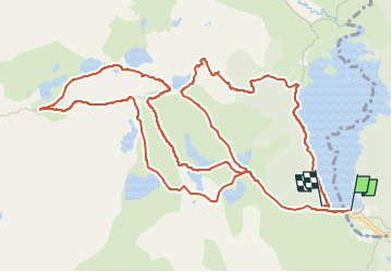

Length
16 km

Max alt
2372 m

Uphill gradient
555 m
Km-Effort
23 km

Min alt
2005 m

Downhill gradient
522 m
Boucle
No
Creation date :
2024-06-24 07:23:51.826
Updated on :
2024-06-24 15:31:47.697
8h04
Difficulty : Very difficult

FREE GPS app for hiking
 SityTrail
IGN / Geographical institutes
SityTrail Plus
The world is yours!
About
Trail Walking of 16 km to be discovered at Occitania, Pyrénées-Orientales, Les Angles. This trail is proposed by rlebasque.
Positioning
Country:
France
Region :
Occitania
Department/Province :
Pyrénées-Orientales
Municipality :
Les Angles
Location:
Unknown
Start:(Dec)
Start:(UTM)
418033 ; 4712430 (31T) N.
Comments