


Le Bones Hores - Refuge de Camporels

GeorgesV.
User

Length
22 km

Max alt
2251 m

Uphill gradient
613 m
Km-Effort
30 km

Min alt
1936 m

Downhill gradient
613 m
Boucle
Yes
Creation date :
2024-06-30 06:00:11.0
Updated on :
2024-08-16 06:56:15.278
6h50
Difficulty : Difficult

FREE GPS app for hiking
 SityTrail
IGN / Geographical institutes
SityTrail Plus
The world is yours!
About
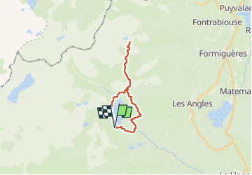
Trail Walking of 22 km to be discovered at Occitania, Pyrénées-Orientales, Angoustrine-Villeneuve-des-Escaldes. This trail is proposed by GeorgesV..
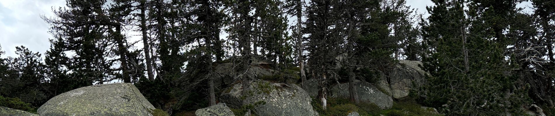
Photos


Positioning
Country:
France
Region :
Occitania
Department/Province :
Pyrénées-Orientales
Municipality :
Angoustrine-Villeneuve-des-Escaldes
Location:
Unknown
Start:(Dec)
Start:(UTM)
417655 ; 4712483 (31T) N.
Comments