


La Sinne Gardiole Bas Vacon chemin de l'Aigle 2 juillet 2024

rlebasque
User
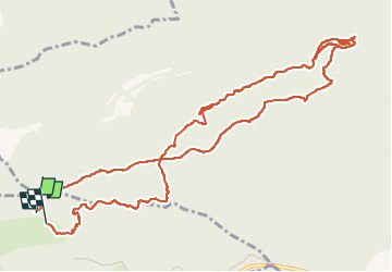

Length
14.1 km

Max alt
622 m

Uphill gradient
354 m
Km-Effort
18.8 km

Min alt
387 m

Downhill gradient
363 m
Boucle
Yes
Creation date :
2024-07-02 05:28:20.521
Updated on :
2024-07-02 09:33:41.056
4h04
Difficulty : Difficult

FREE GPS app for hiking
 SityTrail
IGN / Geographical institutes
SityTrail Plus
The world is yours!
About
Trail Walking of 14.1 km to be discovered at Provence-Alpes-Côte d'Azur, Bouches-du-Rhône, Vauvenargues. This trail is proposed by rlebasque.
Positioning
Country:
France
Region :
Provence-Alpes-Côte d'Azur
Department/Province :
Bouches-du-Rhône
Municipality :
Vauvenargues
Location:
Unknown
Start:(Dec)
Start:(UTM)
715597 ; 4826733 (31T) N.
Comments