Trail Walking Wegscheid - Sattelboden Stahlberg - Photo

Sattelboden Stahlberg

 helmut68
helmut68

User

© OpenStreetMap contributors
Length
Length
11.9 km
Max alt
Max alt
1026 m
Uphill gradient
Uphill gradient
621 m
Km-Effort
Km-Effort  
20 km
Min alt
Min alt
520 m
Downhill gradient
Downhill gradient
636 m
Boucle
Boucle
Yes
Creation date :
2024-07-02 08:41:51.026
Updated on :
2024-07-02 16:00:57.226

(0 Reviews)

Walking
Walking
4h35
Difficulty : Very difficult

Scan this QR Code to open this trail in the SityTrail application

FREE GPS app for hiking

Logo SityTrail SityTrail

IGN / Geographical institutes

Download SityTrail from the App Store Download SityTrail from Google Play

Logo SityTrail SityTrail Plus

The world is yours!

Download SityTrail from the App Store Download SityTrail from Google Play Download SityTrail on Huawei AppGallery

About

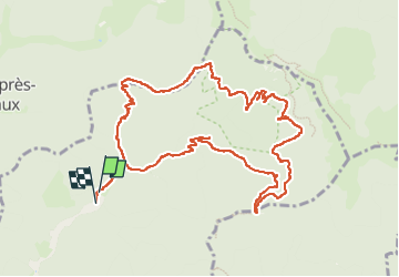
Trail Walking of 11.9 km to be discovered at Grand Est, Haut-Rhin, Wegscheid. This trail is proposed by helmut68.

Description

Départ parking Arboretum de Wegscheid pour une boucle permettant de découvrir deux abris : le Sattelboden  ( 911 m ) et le  
Stahlberg ( 839 m ) mais surtout le belvédère du Fuchsfelsen ( 1015 ) ...
Alors à vos chaussures !
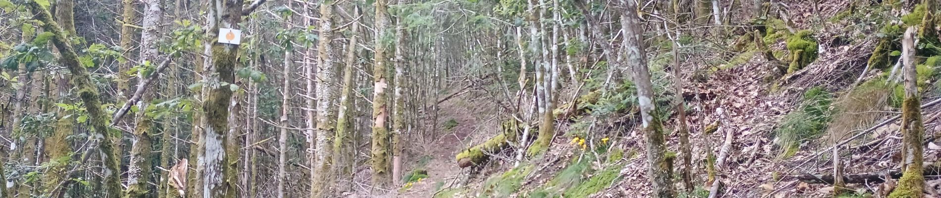
Elevation profile

Photos

31 photos in total. Please click on a photo to see them all in the gallery.

Positioning

Country:
France
Region :
Grand Est
Department/Province :
Haut-Rhin
Municipality :
Wegscheid
Location:
Unknown
Start:(UTM)
348083 ; 5298021 (32T) N.


Close
My subscriptions