


Canavailles

JeanPierreNancy
User

Length
44 km

Max alt
2039 m

Uphill gradient
1359 m
Km-Effort
63 km

Min alt
931 m

Downhill gradient
1357 m
Boucle
Yes
Creation date :
2024-07-05 08:44:09.35
Updated on :
2024-07-05 14:10:16.359
4h41
Difficulty : Difficult

FREE GPS app for hiking
 SityTrail
IGN / Geographical institutes
SityTrail Plus
The world is yours!
About
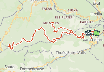
Trail Mountain bike of 44 km to be discovered at Occitania, Pyrénées-Orientales, Canaveilles. This trail is proposed by JeanPierreNancy.
Positioning
Country:
France
Region :
Occitania
Department/Province :
Pyrénées-Orientales
Municipality :
Canaveilles
Location:
Unknown
Start:(Dec)
Start:(UTM)
438402 ; 4709653 (31T) N.
Comments