


RAMONALS

FAUCET
User

Length
9.2 km

Max alt
1633 m

Uphill gradient
802 m
Km-Effort
19.9 km

Min alt
840 m

Downhill gradient
811 m
Boucle
Yes
Creation date :
2024-07-09 13:06:39.077
Updated on :
2024-07-09 13:06:40.677
4h31
Difficulty : Very difficult

FREE GPS app for hiking
 SityTrail
IGN / Geographical institutes
SityTrail Plus
The world is yours!
About
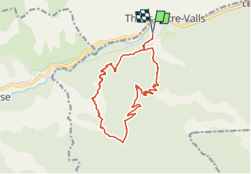
Trail Walking of 9.2 km to be discovered at Occitania, Pyrénées-Orientales, Thuès-Entre-Valls. This trail is proposed by FAUCET.
Positioning
Country:
France
Region :
Occitania
Department/Province :
Pyrénées-Orientales
Municipality :
Thuès-Entre-Valls
Location:
Unknown
Start:(Dec)
Start:(UTM)
435991 ; 4708119 (31T) N.
Comments