


Corrençon/ plateau château julien/valchevriere/bois Barbu

fdm1
User
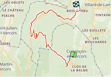

Length
17 km

Max alt
1557 m

Uphill gradient
626 m
Km-Effort
25 km

Min alt
1100 m

Downhill gradient
624 m
Boucle
No
Creation date :
2024-07-09 07:33:30.143
Updated on :
2024-07-09 13:25:39.908
5h49
Difficulty : Easy

FREE GPS app for hiking
 SityTrail
IGN / Geographical institutes
SityTrail Plus
The world is yours!
About
Trail Walking of 17 km to be discovered at Auvergne-Rhône-Alpes, Isère, Corrençon-en-Vercors. This trail is proposed by fdm1.
Description
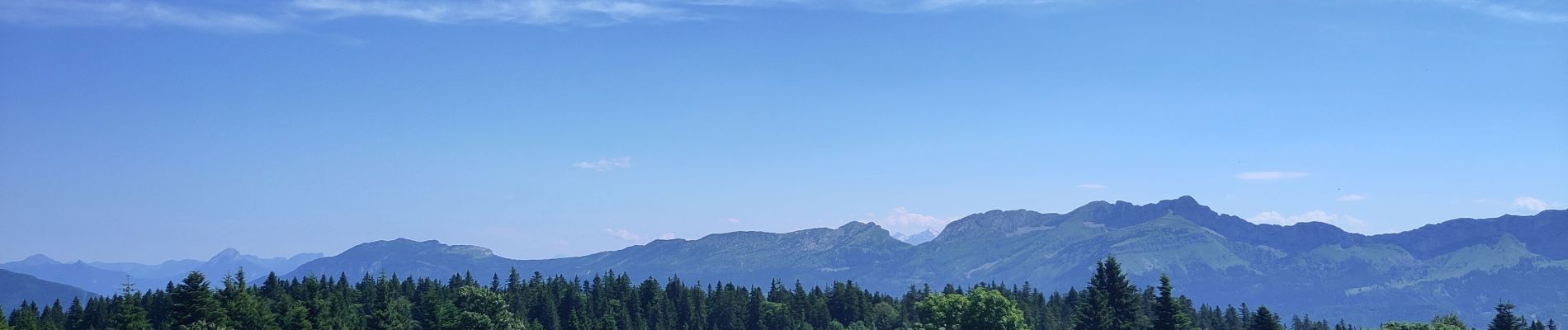
bucolique
Photos

Positioning
Country:
France
Region :
Auvergne-Rhône-Alpes
Department/Province :
Isère
Municipality :
Corrençon-en-Vercors
Location:
Unknown
Start:(Dec)
Start:(UTM)
698457 ; 4988920 (31T) N.
Comments