


Col de Leschaux (Vanoise)

Chabard
User

Length
13.9 km

Max alt
2558 m

Uphill gradient
1155 m
Km-Effort
29 km

Min alt
1729 m

Downhill gradient
1148 m
Boucle
Yes
Creation date :
2024-07-23 07:12:12.0
Updated on :
2024-07-23 20:44:41.89
6h39
Difficulty : Very difficult

FREE GPS app for hiking
 SityTrail
IGN / Geographical institutes
SityTrail Plus
The world is yours!
About
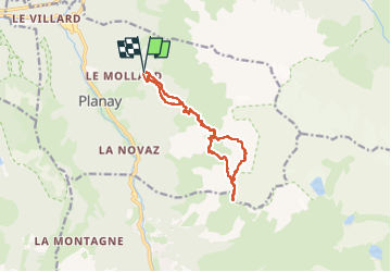
Trail Walking of 13.9 km to be discovered at Auvergne-Rhône-Alpes, Savoy, Planay. This trail is proposed by Chabard.
Description
Départ de Plan Fournier - Montée au refuge du Grand bec - Montée au Col de Leschaux.
Positioning
Country:
France
Region :
Auvergne-Rhône-Alpes
Department/Province :
Savoy
Municipality :
Planay
Location:
Unknown
Start:(Dec)
Start:(UTM)
320988 ; 5033361 (32T) N.
Comments