


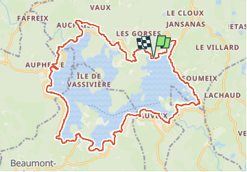
Boucle du Lac de Vassivière

zefreefly
User

Length
28 km

Max alt
705 m

Uphill gradient
437 m
Km-Effort
33 km

Min alt
641 m

Downhill gradient
436 m
Boucle
Yes
Creation date :
2024-07-25 06:34:55.0
Updated on :
2024-07-25 11:34:28.82
4h36
Difficulty : Medium

FREE GPS app for hiking
 SityTrail
IGN / Geographical institutes
SityTrail Plus
The world is yours!
About
Trail Walking of 28 km to be discovered at New Aquitaine, Creuse, Royère-de-Vassivière. This trail is proposed by zefreefly.
Description
Superbe parcours sans difficulté hormis la durée.
Temps fait en mode trail, marche et course.
Départ au camping bois et nature à vous de choisir le votre.
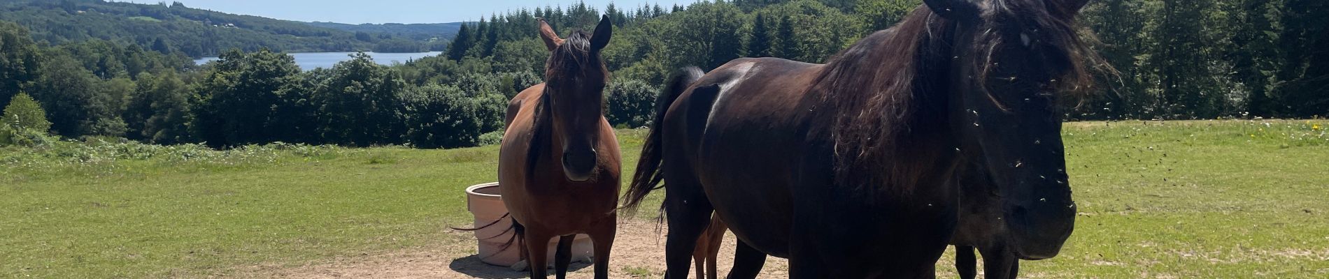
Photos


Positioning
Country:
France
Region :
New Aquitaine
Department/Province :
Creuse
Municipality :
Royère-de-Vassivière
Location:
Unknown
Start:(Dec)
Start:(UTM)
414253 ; 5073493 (31T) N.
Comments