


Col de la masse

Michel_Martin
User
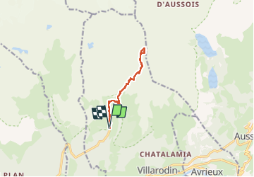

Length
10.7 km

Max alt
2930 m

Uphill gradient
991 m
Km-Effort
24 km

Min alt
1949 m

Downhill gradient
995 m
Boucle
Yes
Creation date :
2024-07-03 06:13:37.246
Updated on :
2024-11-26 14:21:14.866
5h46
Difficulty : Easy

FREE GPS app for hiking
 SityTrail
IGN / Geographical institutes
SityTrail Plus
The world is yours!
About
Trail Walking of 10.7 km to be discovered at Auvergne-Rhône-Alpes, Savoy, Villarodin-Bourget. This trail is proposed by Michel_Martin.
Positioning
Country:
France
Region :
Auvergne-Rhône-Alpes
Department/Province :
Savoy
Municipality :
Villarodin-Bourget
Location:
Unknown
Start:(Dec)
Start:(UTM)
317314 ; 5011212 (32T) N.
Comments