


Kaskoleta chalets d'iraty

taguette
User
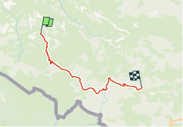

Length
22 km

Max alt
1430 m

Uphill gradient
1454 m
Km-Effort
39 km

Min alt
609 m

Downhill gradient
762 m
Boucle
No
Creation date :
2024-07-30 05:05:12.697
Updated on :
2024-07-30 13:53:30.578
8h47
Difficulty : Very difficult

FREE GPS app for hiking
 SityTrail
IGN / Geographical institutes
SityTrail Plus
The world is yours!
About
Trail Walking of 22 km to be discovered at New Aquitaine, Pyrénées-Atlantiques, Estérençuby. This trail is proposed by taguette.
Positioning
Country:
France
Region :
New Aquitaine
Department/Province :
Pyrénées-Atlantiques
Municipality :
Estérençuby
Location:
Unknown
Start:(Dec)
Start:(UTM)
649376 ; 4772663 (30T) N.
Comments