


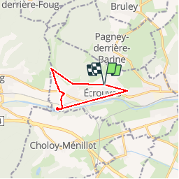

9.2 km | 12 km-effort


User


FREE GPS app for hiking
 SityTrail
IGN / Geographical institutes
SityTrail World
The world is yours!
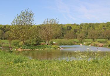
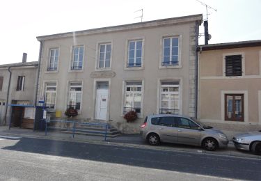
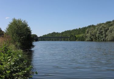
Trail Mountain bike of 7.5 km to be discovered at Grand Est, Meurthe-et-Moselle, Écrouves. This trail is proposed by ericsnoopy.
On foot

Mountain bike
On foot
On foot
On foot

On foot
On foot

On foot
On foot
tres pratique pour la rando a pied ou velo. penser a telecharger les cartes avant la balade! si absence de reseau.