


Trace Miel Arboterum Guy

mitch1952
User

Length
11.2 km

Max alt
552 m

Uphill gradient
243 m
Km-Effort
14.5 km

Min alt
431 m

Downhill gradient
243 m
Boucle
Yes
Creation date :
2024-08-08 06:24:15.0
Updated on :
2024-08-08 09:25:16.276

FREE GPS app for hiking
 SityTrail
IGN / Geographical institutes
SityTrail Plus
The world is yours!
About
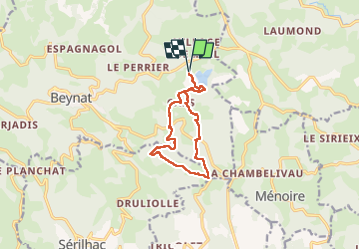
Trail of 11.2 km to be discovered at New Aquitaine, Corrèze, Beynat. This trail is proposed by mitch1952.
Positioning
Country:
France
Region :
New Aquitaine
Department/Province :
Corrèze
Municipality :
Beynat
Location:
Unknown
Start:(Dec)
Start:(UTM)
402709 ; 4998255 (31T) N.
Comments