


Refuges d'Ayous Gavas

taguette
User
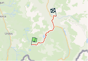

Length
16.1 km

Max alt
1967 m

Uphill gradient
187 m
Km-Effort
22 km

Min alt
943 m

Downhill gradient
1173 m
Boucle
No
Creation date :
2024-08-07 07:34:53.749
Updated on :
2024-08-08 15:57:44.318
6h26
Difficulty : Very difficult

FREE GPS app for hiking
 SityTrail
IGN / Geographical institutes
SityTrail Plus
The world is yours!
About
Trail Walking of 16.1 km to be discovered at New Aquitaine, Pyrénées-Atlantiques, Laruns. This trail is proposed by taguette.
Positioning
Country:
France
Region :
New Aquitaine
Department/Province :
Pyrénées-Atlantiques
Municipality :
Laruns
Location:
Unknown
Start:(Dec)
Start:(UTM)
705001 ; 4747097 (30T) N.
Comments