


courchevel

tintin73
User
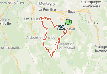

Length
30 km

Max alt
2647 m

Uphill gradient
1902 m
Km-Effort
55 km

Min alt
1345 m

Downhill gradient
1779 m
Boucle
No
Creation date :
2024-08-09 08:32:04.248
Updated on :
2024-08-09 17:30:37.497
4h29
Difficulty : Medium

FREE GPS app for hiking
 SityTrail
IGN / Geographical institutes
SityTrail Plus
The world is yours!
About
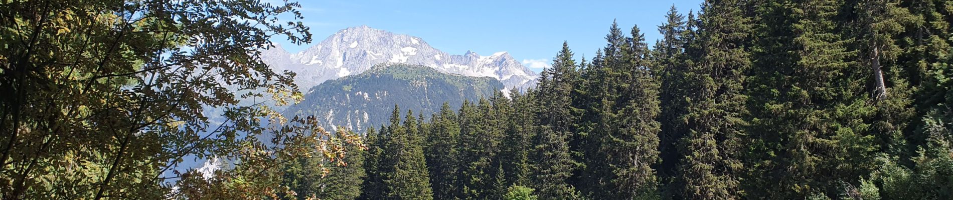
Trail Mountain bike of 30 km to be discovered at Auvergne-Rhône-Alpes, Savoy, Courchevel. This trail is proposed by tintin73.
Photos


Positioning
Country:
France
Region :
Auvergne-Rhône-Alpes
Department/Province :
Savoy
Municipality :
Courchevel
Location:
Saint-Bon-Tarentaise
Start:(Dec)
Start:(UTM)
314713 ; 5031731 (32T) N.
Comments