


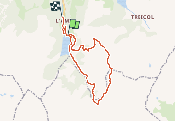
St guerin - cormet d Arêches - miraillet- mirallet

lolitrail
User


4h15
Difficulty : Medium

FREE GPS app for hiking
 SityTrail
IGN / Geographical institutes
SityTrail Plus
The world is yours!
About
Trail Walking of 17 km to be discovered at Auvergne-Rhône-Alpes, Savoy, Beaufort. This trail is proposed by lolitrail.
Description
Très belle boucle . Ascension progressive par le lac des fées et le cormet d Arêches où de subîmes paysages s offrent à nous . Puis prendre la direction du col du couvercle puis descendre (attention passage très engagé ver le passage du miraillet avant d entamer la descente progressive vers le lac de st guerin
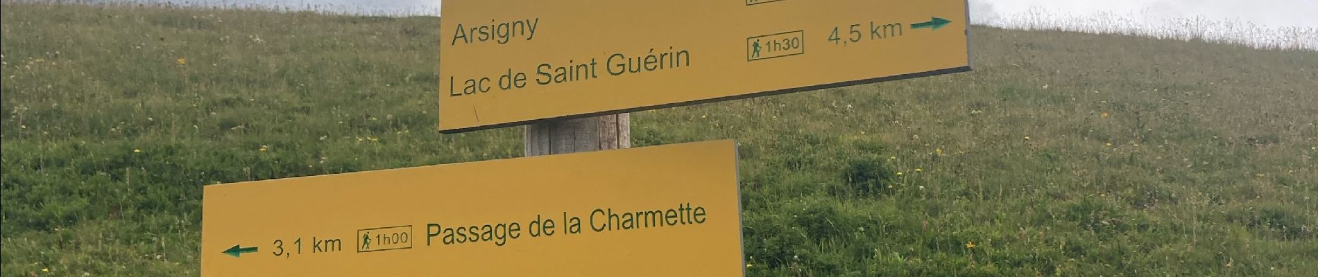
Photos


Positioning
Comments