


Col de Règue

cron
User

Length
18.9 km

Max alt
2688 m

Uphill gradient
1284 m
Km-Effort
36 km

Min alt
1467 m

Downhill gradient
1285 m
Boucle
Yes
Creation date :
2024-08-15 19:03:55.437
Updated on :
2024-08-15 19:06:39.231
8h11
Difficulty : Very difficult

FREE GPS app for hiking
 SityTrail
IGN / Geographical institutes
SityTrail Plus
The world is yours!
About
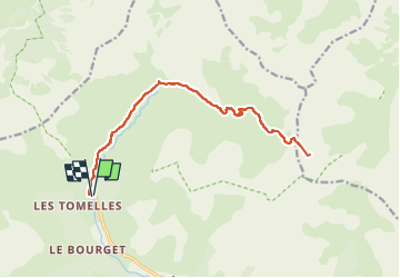
Trail Walking of 18.9 km to be discovered at Provence-Alpes-Côte d'Azur, Hautes-Alpes, Réallon. This trail is proposed by cron.
Description
A noter : du col de Règue, possibilité de monter au Mourre-Froid. Il suffit de monter la crête (nombreux cairns) jusqu’au large sommet, sans difficultés majeures. ( /- 287 m de dénivelé).
Positioning
Country:
France
Region :
Provence-Alpes-Côte d'Azur
Department/Province :
Hautes-Alpes
Municipality :
Réallon
Location:
Unknown
Start:(Dec)
Start:(UTM)
288524 ; 4943628 (32T) N.
Comments