


carlit 2024

jeff2
User
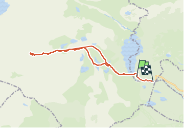

Length
17.3 km

Max alt
2886 m

Uphill gradient
941 m
Km-Effort
30 km

Min alt
1971 m

Downhill gradient
972 m
Boucle
No
Creation date :
2024-07-04 05:21:15.235
Updated on :
2024-08-16 08:05:08.023
9h09
Difficulty : Difficult

FREE GPS app for hiking
 SityTrail
IGN / Geographical institutes
SityTrail Plus
The world is yours!
About
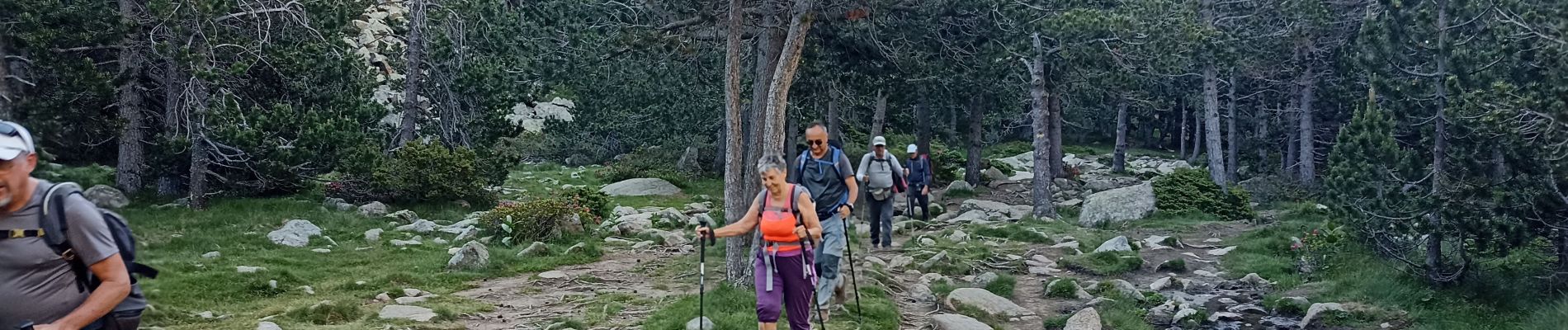
Trail Walking of 17.3 km to be discovered at Occitania, Pyrénées-Orientales, Les Angles. This trail is proposed by jeff2.
Description
Grand beau, longue montée et vue à 360° exceptionnelle.
Photos


Positioning
Country:
France
Region :
Occitania
Department/Province :
Pyrénées-Orientales
Municipality :
Les Angles
Location:
Unknown
Start:(Dec)
Start:(UTM)
418178 ; 4712347 (31T) N.
Comments