


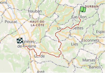

16.8 km | 28 km-effort


User


FREE GPS app for hiking
 SityTrail
IGN / Geographical institutes
SityTrail World
The world is yours!
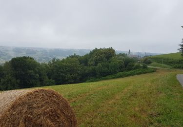
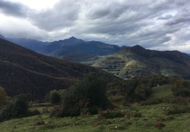
Trail Walking of 11.6 km to be discovered at Occitania, Hautespyrenees, Castillon. This trail is proposed by Blavis.
CASTILLON - BAGNERE DE BIGORRE
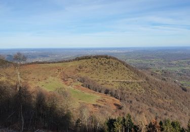
Walking
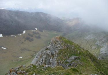
Walking
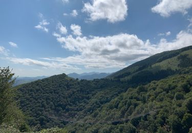
Walking
Bicycle tourism
Walking
Mountain bike

Mountain bike

Mountain bike

Mountain bike