


Montgenèvre La Doire 240829

Specialized77
User GUIDE
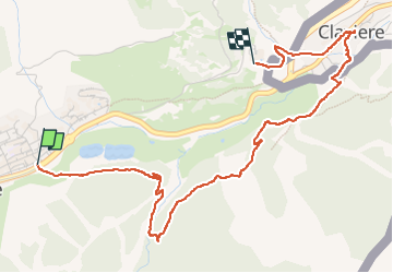

Length
4.8 km

Max alt
1891 m

Uphill gradient
142 m
Km-Effort
6.7 km

Min alt
1760 m

Downhill gradient
159 m
Boucle
No
Creation date :
2024-08-29 07:22:06.464
Updated on :
2024-08-29 10:06:07.247
1h45
Difficulty : Easy

FREE GPS app for hiking
 SityTrail
IGN / Geographical institutes
SityTrail Plus
The world is yours!
About
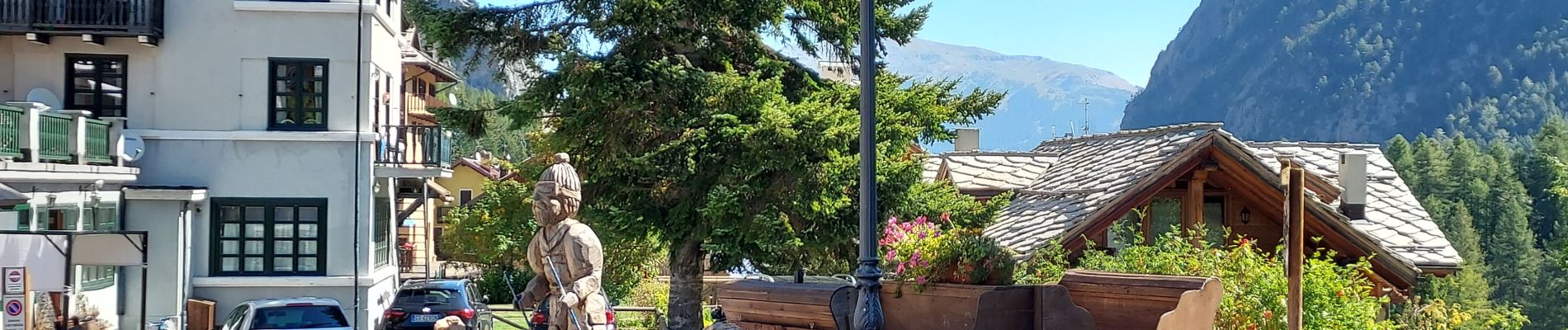
Trail Walking of 4.8 km to be discovered at Provence-Alpes-Côte d'Azur, Hautes-Alpes, Montgenèvre. This trail is proposed by Specialized77.
Description
Départ depuis Montgenevre - Le Peycher et retour au VCS
Photos


Positioning
Country:
France
Region :
Provence-Alpes-Côte d'Azur
Department/Province :
Hautes-Alpes
Municipality :
Montgenèvre
Location:
Unknown
Start:(Dec)
Start:(UTM)
320527 ; 4977846 (32T) N.
Comments