


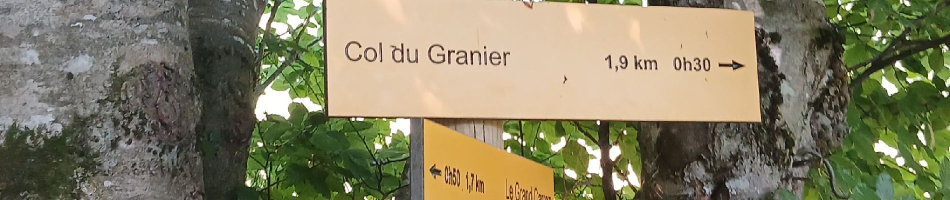
Boucle du Mont Joigny depuis le col du Granier

Jean-marc77
User
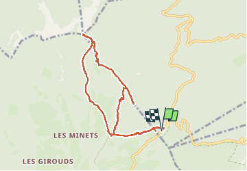

Length
9.3 km

Max alt
1552 m

Uphill gradient
502 m
Km-Effort
16 km

Min alt
1132 m

Downhill gradient
502 m
Boucle
Yes
Creation date :
2024-08-29 08:28:46.9
Updated on :
2024-08-29 14:12:02.192
4h43
Difficulty : Medium

FREE GPS app for hiking
 SityTrail
IGN / Geographical institutes
SityTrail Plus
The world is yours!
About
Trail Walking of 9.3 km to be discovered at Auvergne-Rhône-Alpes, Savoy, Apremont. This trail is proposed by Jean-marc77.
Photos


Positioning
Country:
France
Region :
Auvergne-Rhône-Alpes
Department/Province :
Savoy
Municipality :
Apremont
Location:
Unknown
Start:(Dec)
Start:(UTM)
727708 ; 5040371 (31T) N.
Comments