


Kruth

jcschubnel
User
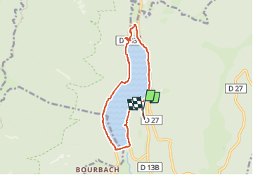

Length
6.9 km

Max alt
586 m

Uphill gradient
146 m
Km-Effort
8.9 km

Min alt
528 m

Downhill gradient
162 m
Boucle
Yes
Creation date :
2024-07-05 11:47:42.133
Updated on :
2024-08-31 14:24:21.546
2h12
Difficulty : Medium

FREE GPS app for hiking
 SityTrail
IGN / Geographical institutes
SityTrail Plus
The world is yours!
About
Trail Walking of 6.9 km to be discovered at Grand Est, Haut-Rhin, Kruth. This trail is proposed by jcschubnel.
Positioning
Country:
France
Region :
Grand Est
Department/Province :
Haut-Rhin
Municipality :
Kruth
Location:
Unknown
Start:(Dec)
Start:(UTM)
347681 ; 5313033 (32T) N.
Comments