


Kruth Patricia

michelrenaud
User

Length
60 km

Max alt
1080 m

Uphill gradient
3313 m
Km-Effort
104 km

Min alt
302 m

Downhill gradient
3521 m
Boucle
No
Creation date :
2024-09-10 07:57:34.851
Updated on :
2024-09-10 19:24:49.549
6h29
Difficulty : Very difficult

FREE GPS app for hiking
 SityTrail
IGN / Geographical institutes
SityTrail Plus
The world is yours!
About
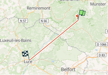
Trail Walking of 60 km to be discovered at Grand Est, Haut-Rhin, Kruth. This trail is proposed by michelrenaud.
Positioning
Country:
France
Region :
Grand Est
Department/Province :
Haut-Rhin
Municipality :
Kruth
Location:
Unknown
Start:(Dec)
Start:(UTM)
347211 ; 5312009 (32T) N.
Comments