


2024 08 22

E.BURCK
User

Length
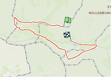
8.2 km

Max alt
1023 m

Uphill gradient
212 m
Km-Effort
11.6 km

Min alt
734 m

Downhill gradient
406 m
Boucle
No
Creation date :
2024-08-22 08:13:05.376
Updated on :
2024-09-18 15:50:08.738
2h43
Difficulty : Difficult

FREE GPS app for hiking
 SityTrail
IGN / Geographical institutes
SityTrail Plus
The world is yours!
About
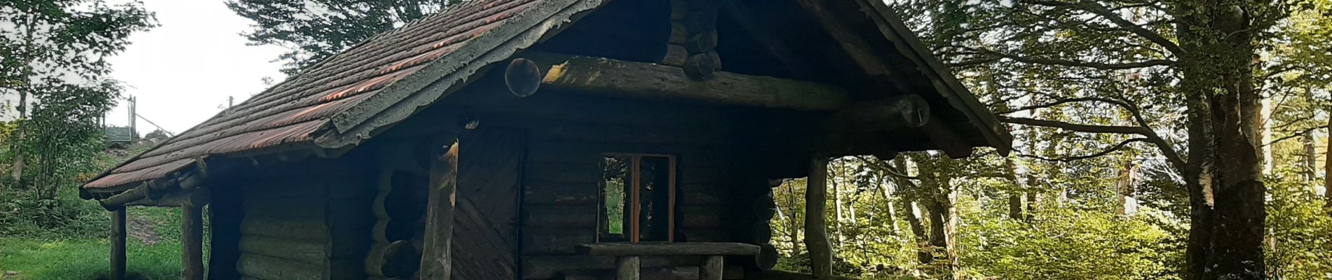
Trail Walking of 8.2 km to be discovered at Grand Est, Haut-Rhin, Kirchberg. This trail is proposed by E.BURCK.
Photos

Positioning
Country:
France
Region :
Grand Est
Department/Province :
Haut-Rhin
Municipality :
Kirchberg
Location:
Unknown
Start:(Dec)
Start:(UTM)
344506 ; 5294359 (32T) N.
Comments