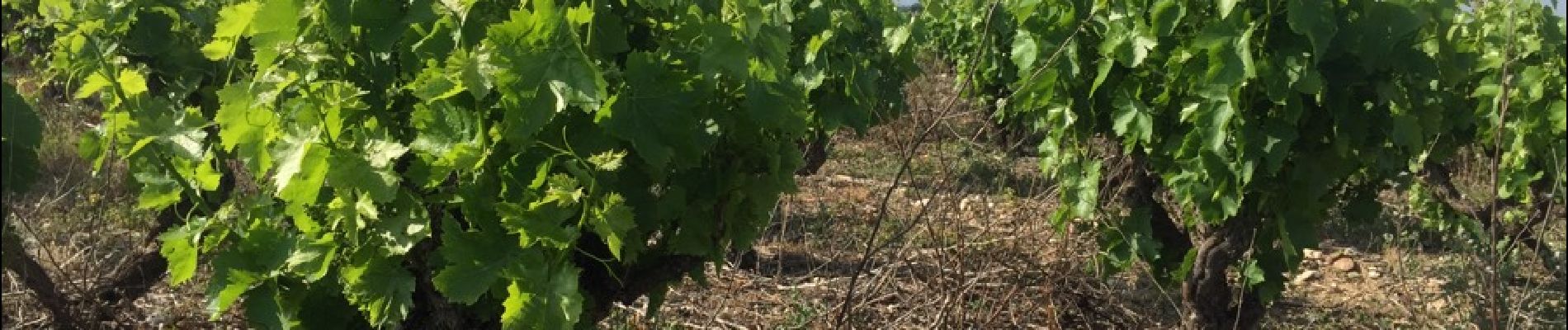
THUIR 66 - chapelle VILARMILA - Vinyer Capella, Rei

jeff66
User
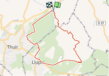

Length
10.1 km

Max alt
105 m

Uphill gradient
45 m
Km-Effort
10.7 km

Min alt
84 m

Downhill gradient
45 m
Boucle
Yes
Creation date :
2015-05-12 00:00:00.0
Updated on :
2015-05-12 00:00:00.0
1h39
Difficulty : Easy

FREE GPS app for hiking
 SityTrail
IGN / Geographical institutes
SityTrail Plus
The world is yours!
About
Trail Walking of 10.1 km to be discovered at Occitania, Pyrénées-Orientales, Thuir. This trail is proposed by jeff66.
Description
THUIR 66 - LLUPIA - piste cyclable - centre équitation - base ULM - chapelle de VILARMILA - Vinyer de la Capella - Vinyer del Rei - l'Adou
Photos


Positioning
Country:
France
Region :
Occitania
Department/Province :
Pyrénées-Orientales
Municipality :
Thuir
Location:
Unknown
Start:(Dec)
Start:(UTM)
481892 ; 4721299 (31T) N.
Comments