


Valnontey

chgarit
User

Length
12.8 km

Max alt
1742 m

Uphill gradient
235 m
Km-Effort
15.9 km

Min alt
1535 m

Downhill gradient
235 m
Boucle
Yes
Creation date :
2024-09-25 08:28:22.0
Updated on :
2024-09-25 13:20:32.392
3h07
Difficulty : Easy

FREE GPS app for hiking
 SityTrail
IGN / Geographical institutes
SityTrail Plus
The world is yours!
About
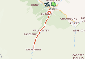
Trail Walking of 12.8 km to be discovered at Aosta Valley, Unknown, Cogne. This trail is proposed by chgarit.
Positioning
Country:
Italy
Region :
Aosta Valley
Department/Province :
Unknown
Municipality :
Cogne
Location:
Unknown
Start:(Dec)
Start:(UTM)
371718 ; 5051847 (32T) N.
Comments