


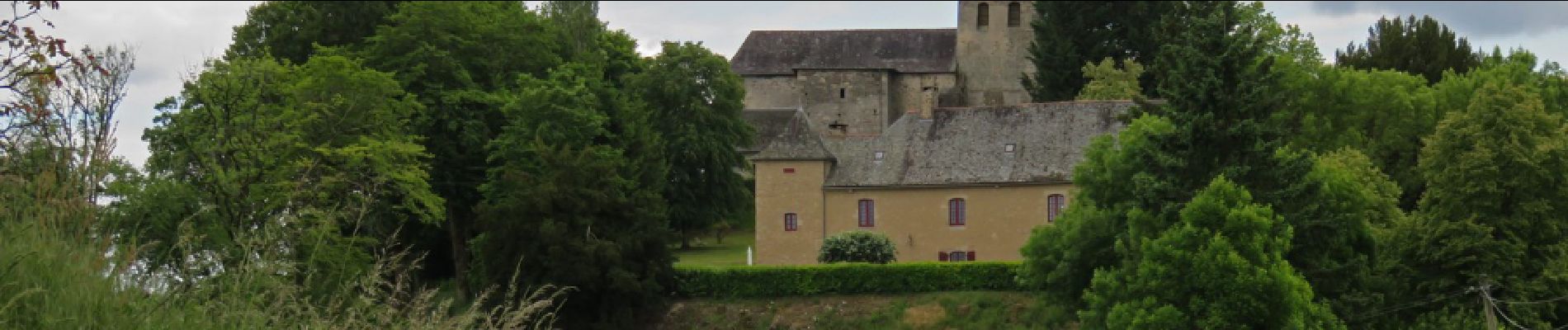
Sadroc- Moulin de la chapelle

houbart
User
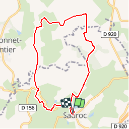

Length
8.7 km

Max alt
426 m

Uphill gradient
174 m
Km-Effort
11 km

Min alt
319 m

Downhill gradient
178 m
Boucle
Yes
Creation date :
2019-03-28 15:47:32.435
Updated on :
2019-03-28 15:47:32.5
2h00
Difficulty : Easy

FREE GPS app for hiking
 SityTrail
IGN / Geographical institutes
SityTrail Plus
The world is yours!
About
Trail Walking of 8.7 km to be discovered at New Aquitaine, Corrèze, Sadroc. This trail is proposed by houbart.
Description
Départ Parking au-dessus de l'école. Partir par la route de la forge.
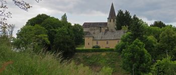
Photos


Positioning
Country:
France
Region :
New Aquitaine
Department/Province :
Corrèze
Municipality :
Sadroc
Location:
Unknown
Start:(Dec)
Start:(UTM)
386168 ; 5015431 (31T) N.
Comments