


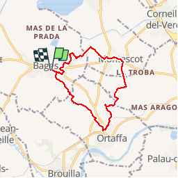
BAGES 66 - ORTAFFA - MONTESCOT

jeff66
User


2h09
Difficulty : Medium

FREE GPS app for hiking
 SityTrail
IGN / Geographical institutes
SityTrail Plus
The world is yours!
About
Trail Walking of 13.3 km to be discovered at Occitania, Pyrénées-Orientales, Bages. This trail is proposed by jeff66.
Description
BAGES 66 - chemin de la tour d'en Sarri - parc photovoltaïque - les Colomines - les Olivardes - ORTAFFA - la Serra - vues sur les Albères - PUIG del TORO - mas Charpeil - MONTESCOT - Intermarché - Les Creuetes - La collada - El Pa de Sucre - Malarça - BAGES - Bellevue - stade - écoles
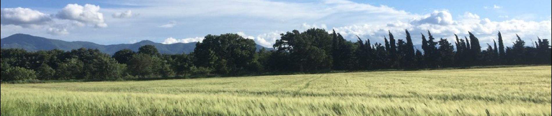
Photos


Positioning
Comments