


ALENYA 66 - entre l'Agouille de la Mar et le Réart

jeff66
User
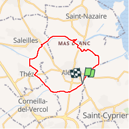


1h57
Difficulty : Easy

FREE GPS app for hiking
 SityTrail
IGN / Geographical institutes
SityTrail Plus
The world is yours!
About
Trail Walking of 12.6 km to be discovered at Occitania, Pyrénées-Orientales, Elne. This trail is proposed by jeff66.
Description
ALENYA 66 - Agouille de la mar - pont del pas del Pilo - pont del pas de la Mar - Mas del Parer - Mas Franc Alleu - Mas les Ripouilles - le Réart - passage à gué - berges - vue sur les Albères - la Colomina de Canet - SALEILLES - D22 pont sur le Réart - berge opposée - piste cyclable - Mas Tronyo - THEZA - les 4 Aiminades - chemin de Charlemagne - Negabous - Mas de la méridienne - petit mas blanc - les Cent - Mas Chichet - Serres et parc photovoltaïque
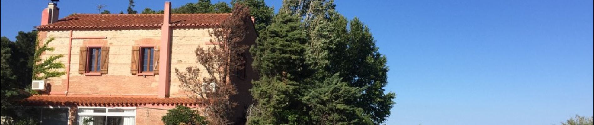
Photos


Positioning
Comments