


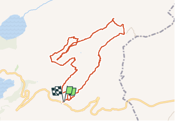
Beaufortain Rocher du Vent

c.gourme
User


5h30
Difficulty : Difficult

FREE GPS app for hiking
 SityTrail
IGN / Geographical institutes
SityTrail Plus
The world is yours!
About
Trail Walking of 12 km to be discovered at Auvergne-Rhône-Alpes, Savoy, Beaufort. This trail is proposed by c.gourme.
Description
Attention, passages délicats après le tunnel : Randos à faire uniquement par temps très sec. Très beaux points de vue et il est inutile de faire l’aller-retour vers le Rocher du Vent à moins de vouloir l’escalader. L’arrêt qui conduit au col de la sauce permet d’avoir également de beaux points de vue sur le Mont Blanc et les glaciers de la frontière italien
Positioning
Comments