


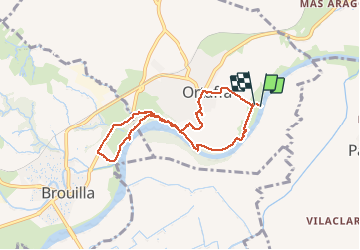
ORTAFFA 66 - boucle par les berges du Tech, retour par le village

jeff66
User


1h21
Difficulty : Easy

FREE GPS app for hiking
 SityTrail
IGN / Geographical institutes
SityTrail Plus
The world is yours!
About
Trail Walking of 7.6 km to be discovered at Occitania, Pyrénées-Orientales, Ortaffa. This trail is proposed by jeff66.
Description
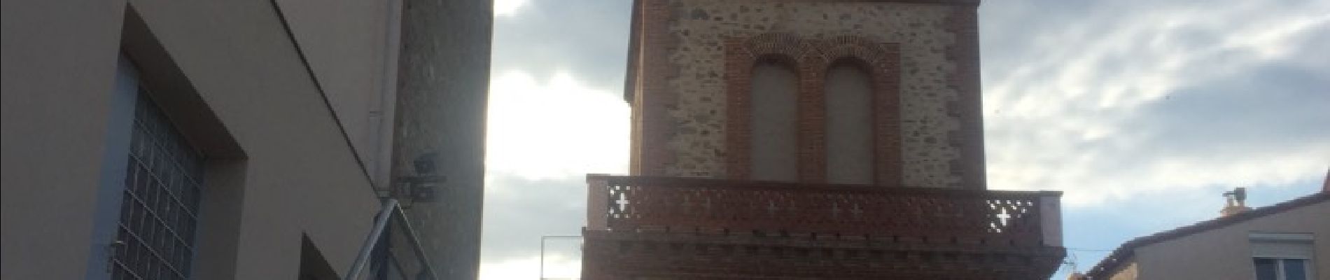
ORTAFFA 66 - radier du Tech - la Polleda - berges du Tech - station de pompage - Oliveda d'en Ramon - chemin ombragé sinuant le long du Tech accompagné par les champs d'oiseaux - camp de la Garriga - Correc del Milleri - D8 - ORTAFFA - beffroi - école Ponç d'ortafa - terrain de sports - mas du Tech - mas Pompidor
Photos


Positioning
Comments