


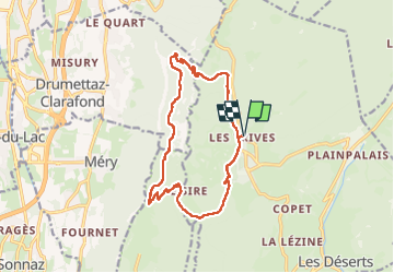
REVARD / LA FECLAZ: PERTUISET - MALPASSANT - CROC - LE SIRE

djeepee74
User

Length
15.1 km

Max alt
1525 m

Uphill gradient
915 m
Km-Effort
27 km

Min alt
965 m

Downhill gradient
914 m
Boucle
Yes
Creation date :
2024-11-16 07:44:38.154
Updated on :
2025-02-17 09:35:42.235
6h12
Difficulty : Very difficult

FREE GPS app for hiking
 SityTrail
IGN / Geographical institutes
SityTrail Plus
The world is yours!
About
Trail Walking of 15.1 km to be discovered at Auvergne-Rhône-Alpes, Savoy, Les Déserts. This trail is proposed by djeepee74.
Description
BOUCLE... live du 20241116
Le début de la descente du col de Pertuiset peut impressionner... mais ça passe bien (temps sec), le sentier étant bien visible et bien tracé.
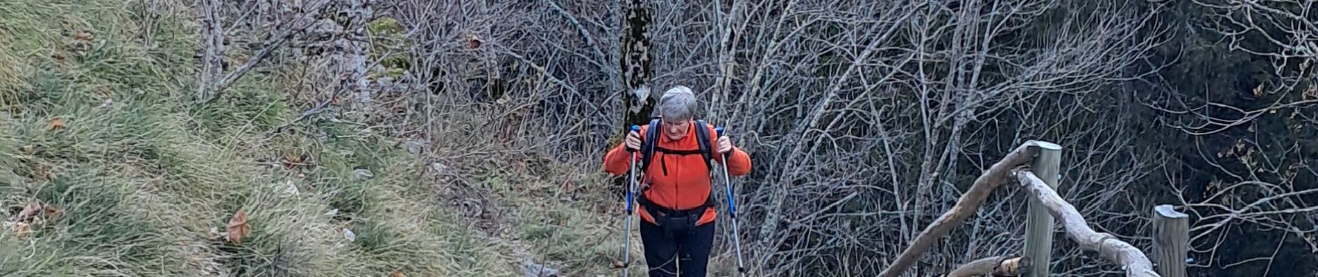
Photos


Positioning
Country:
France
Region :
Auvergne-Rhône-Alpes
Department/Province :
Savoy
Municipality :
Les Déserts
Location:
Unknown
Start:(Dec)
Start:(UTM)
732425 ; 5059325 (31T) N.
Comments