


9.6 km | 11.8 km-effort


User


FREE GPS app for hiking
 SityTrail
IGN / Geographical institutes
SityTrail World
The world is yours!
Trail Walking of 13.2 km to be discovered at Auvergne-Rhône-Alpes, Rhône, Sourcieux-les-Mines. This trail is proposed by Trotte-menu.
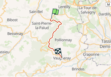
Rando au départ de Lyon Gorge de Loup en transport en commun.
Aller Ligne 42, départ Gorge de Loup, arrivée "le Jannot"
Retour Ligne 47 Départ Vaugneray, arrêt Craponne centre puis TCL Ligne C24 vers Gorge de Loup.
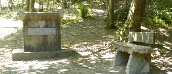
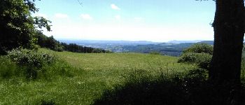
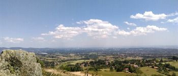
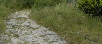
 à Vaugneray - Photo 1")
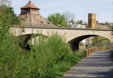
 à Vaugneray - Photo 2")
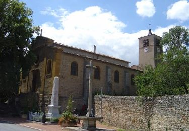
 à Vaugneray - Photo 3")
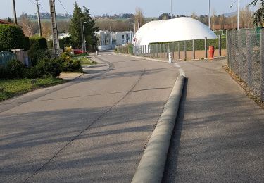
 à Vaugneray - Photo 4")
 à Vaugneray - Photo 5")
Walking

Walking
Walking
Walking

Walking

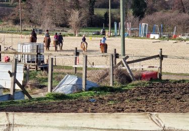
Horseback riding
Walking
Walking
Walking