


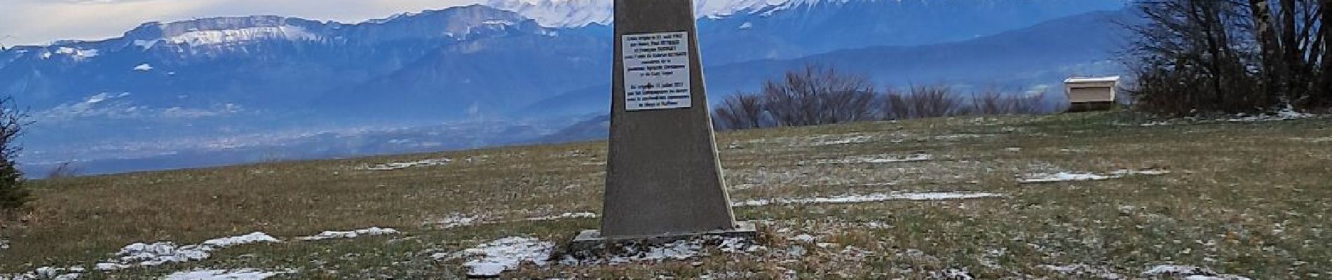
SAPENAY / CLERGEON: GRANDE CUVE

djeepee74
User
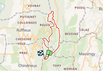

Length
14.1 km

Max alt
1025 m

Uphill gradient
510 m
Km-Effort
21 km

Min alt
755 m

Downhill gradient
510 m
Boucle
Yes
Creation date :
2024-11-23 07:41:03.984
Updated on :
2024-11-27 14:25:51.254
4h45
Difficulty : Very difficult

FREE GPS app for hiking
 SityTrail
IGN / Geographical institutes
SityTrail Plus
The world is yours!
About
Trail Walking of 14.1 km to be discovered at Auvergne-Rhône-Alpes, Savoy, Entrelacs. This trail is proposed by djeepee74.
Description
BOUCLE... live du 20241123
Photos


Positioning
Country:
France
Region :
Auvergne-Rhône-Alpes
Department/Province :
Savoy
Municipality :
Entrelacs
Location:
Cessens
Start:(Dec)
Start:(UTM)
722889 ; 5078555 (31T) N.
Comments