


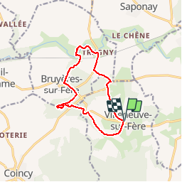


10.1 km | 12.6 km-effort

User


FREE GPS app for hiking
 SityTrail
IGN / Geographical institutes
SityTrail World
The world is yours!
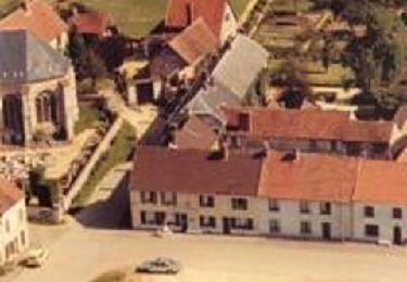
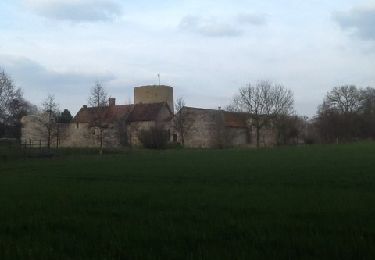
Trail Walking of 10.8 km to be discovered at Hauts-de-France, Aisne, Villeneuve-sur-Fère. This trail is proposed by PatRando.
31 Mai 2015 :
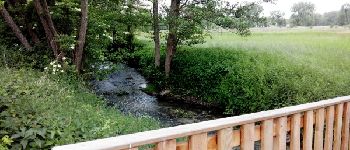
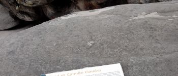
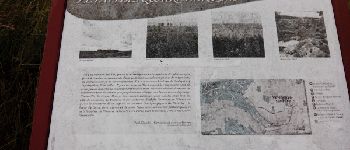
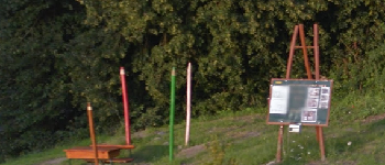
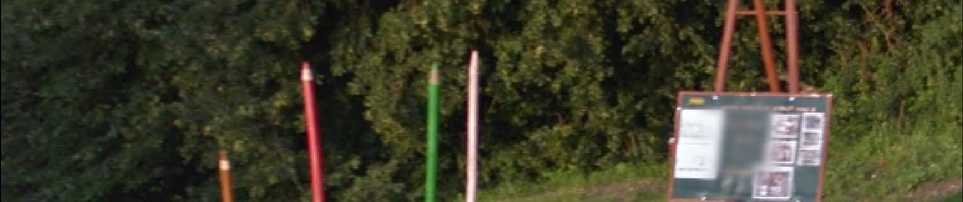
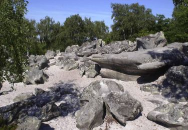
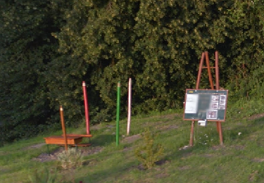
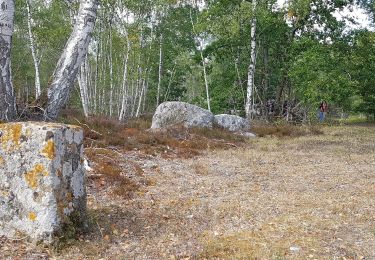
Balade au pays de Claudel. Passage par la Hottée du Diable


Walking

Walking
Walking
Walking
Walking
Walking

Mountain bike

Mountain bike
Mountain bike