


TROUILLAS 66 - promenade dans le vignoble des Aspres - FOURQUES

jeff66
User
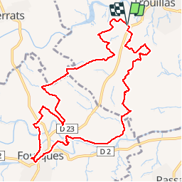


2h27
Difficulty : Medium

FREE GPS app for hiking
 SityTrail
IGN / Geographical institutes
SityTrail Plus
The world is yours!
About
Trail Walking of 13 km to be discovered at Occitania, Pyrénées-Orientales, Trouillas. This trail is proposed by jeff66.
Description
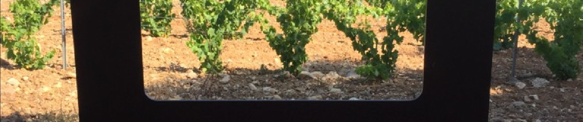
TROUILLAS 66 - col de Portell - Puig de Nagut - panorama sur les Aspres la plaine du Roussillon - Colomines d'en Salies - promenade à travers vignes - vues sur les Albères - le Casot - les COMES - la Miranda - vue sur FOURQUES - els Sucis - Darrera El Castells - FOURQUES - passage dans le lit assèché de la rivière de Llauro - la Font del Terrer - cave coopérative - Pla de Sant Vincens - passage à gué du Réart - le lavoir - olivedes del vinyer de della - le moulin : moli d'en xandres - estany baix - mas del guillots - millareda - la Creueta - Santa Magdalena
Photos


Positioning
Comments