


VILLETELLE 30 - LA ROQUE D'AUBAIS - AUBAIS

jeff66
User


2h24
Difficulty : Medium

FREE GPS app for hiking
 SityTrail
IGN / Geographical institutes
SityTrail Plus
The world is yours!
About
Trail Walking of 14.2 km to be discovered at Occitania, Gard, Aubais. This trail is proposed by jeff66.
Description
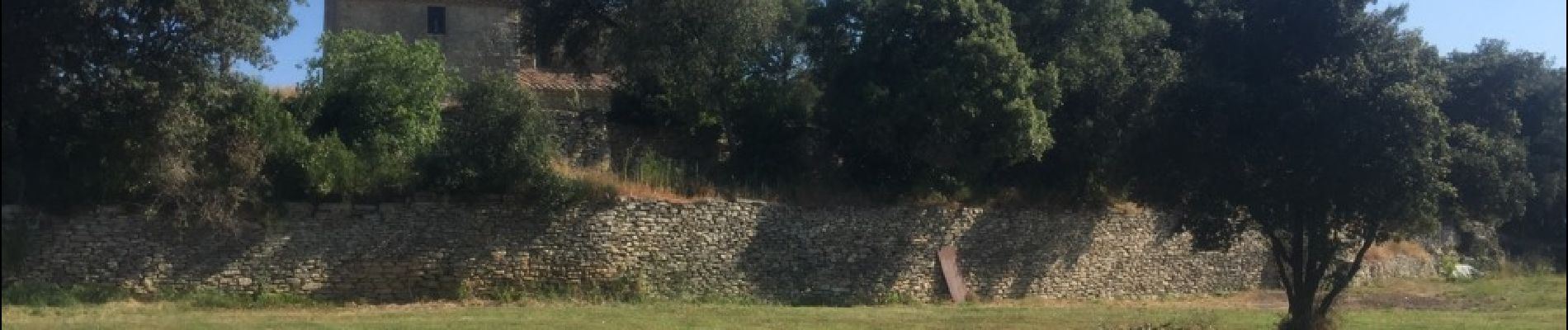
VILLETELLE 30 - Moulin à eau de Carrière - chemin de Peysal - LA ROQUE D'AUBAIS - piste DFCI C42 - berges du Vidourle - plaine et garrigues de la Roque - panorama sur le pic St loup les Cévennes - le cros de Faye i- chemin du moulin à vent - Condamine - mas de Nouis - cimetière c- Mas Begon - AUBAIS - rue des Cazeaux - Mas de Rieu - chemin du Rieu - chemin DFCI C12 - villa des pins - Valecroze - oliveraie - chemin dans les bois - Puech de Villeneuve - pylône - garrigues planes - la pierre plantée - PEYRA plantada le menhir - pin de Mistico - Mas de Riquet - mas de Lauziére - chemin du mas de Foukart - église St Nazaire - mas du four à chaux - romarin - écurie du pont romain - le travers - chemin de la maisonnette de Danton - grand chemin
Photos


Positioning
Comments