


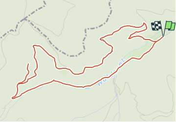
Parking camping Moosch - Tria,gle bleu, rue de la Mine d'Argent puis chemin forestier - Abri de la Mésange et retour camping par le chemin triangle jaune.

patrickbeyrath
User

Length
7 km

Max alt
718 m

Uphill gradient
281 m
Km-Effort
10.8 km

Min alt
449 m

Downhill gradient
281 m
Boucle
Yes
Creation date :
2025-01-16 10:19:34.418
Updated on :
2025-01-17 07:27:59.882
2h26
Difficulty : Medium

FREE GPS app for hiking
 SityTrail
IGN / Geographical institutes
SityTrail Plus
The world is yours!
About
Trail Walking of 7 km to be discovered at Grand Est, Haut-Rhin, Moosch. This trail is proposed by patrickbeyrath.
Positioning
Country:
France
Region :
Grand Est
Department/Province :
Haut-Rhin
Municipality :
Moosch
Location:
Unknown
Start:(Dec)
Start:(UTM)
352796 ; 5301665 (32T) N.
Comments