


Amis nature treh johann

chantalwaltzer
User
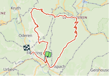

Length
23 km

Max alt
1194 m

Uphill gradient
1074 m
Km-Effort
37 km

Min alt
433 m

Downhill gradient
1076 m
Boucle
No
Creation date :
2025-01-19 08:06:37.0
Updated on :
2025-01-19 16:34:00.526
8h25
Difficulty : Very difficult

FREE GPS app for hiking
 SityTrail
IGN / Geographical institutes
SityTrail Plus
The world is yours!
About
Trail Walking of 23 km to be discovered at Grand Est, Haut-Rhin, Fellering. This trail is proposed by chantalwaltzer.
Description
marche super parcours
Positioning
Country:
France
Region :
Grand Est
Department/Province :
Haut-Rhin
Municipality :
Fellering
Location:
Unknown
Start:(Dec)
Start:(UTM)
350266 ; 5306035 (32T) N.
Comments