


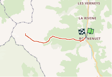
73V Bonnenuit refuge,Arves fond,de,combes retour

trietsch
User

Length
13.4 km

Max alt
2606 m

Uphill gradient
963 m
Km-Effort
26 km

Min alt
1669 m

Downhill gradient
960 m
Boucle
Yes
Creation date :
2015-06-15 00:00:00.0
Updated on :
2024-09-07 12:44:44.795
6h00
Difficulty : Difficult

FREE GPS app for hiking
 SityTrail
IGN / Geographical institutes
SityTrail Plus
The world is yours!
About
Trail Walking of 13.4 km to be discovered at Auvergne-Rhône-Alpes, Savoy, Valloire. This trail is proposed by trietsch.
Description
jusqu'au refuge 600m 2H00
Fond de Vallon 3H00
Positioning
Country:
France
Region :
Auvergne-Rhône-Alpes
Department/Province :
Savoy
Municipality :
Valloire
Location:
Unknown
Start:(Dec)
Start:(UTM)
296907 ; 4999632 (32T) N.
Comments