


220225 Tour du Thabor J1

mzonzon05
User


Length
9.7 km

Max alt
2724 m

Uphill gradient
456 m
Km-Effort
16.6 km

Min alt
2069 m

Downhill gradient
675 m
Boucle
No
Creation date :
2025-02-22 10:09:49.308
Updated on :
2025-02-24 21:23:47.292
3h45
Difficulty : Very easy

FREE GPS app for hiking
 SityTrail
IGN / Geographical institutes
SityTrail Plus
The world is yours!
About
Trail Touring skiing of 9.7 km to be discovered at Auvergne-Rhône-Alpes, Savoy, Modane. This trail is proposed by mzonzon05.
Description
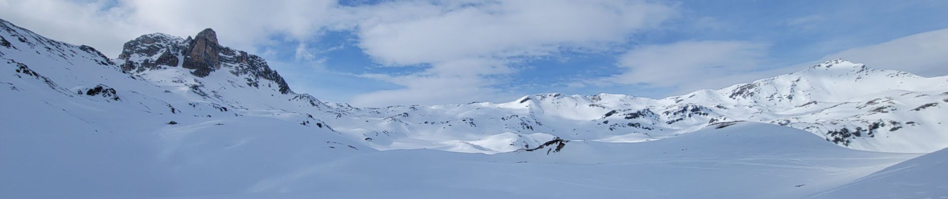
Pas fa ou t ce que l'on devait à cause du temps (brouillars) mais régalade de paysage quand même en deuxième partie de rando.
Facile et magnifique !
Photos


Positioning
Country:
France
Region :
Auvergne-Rhône-Alpes
Department/Province :
Savoy
Municipality :
Modane
Location:
Unknown
Start:(Dec)
Start:(UTM)
316862 ; 5001611 (32T) N.
Comments