


38 tête chaudières zel 27.02.25 raq

randodyssée
User GUIDE
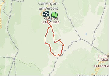

Length
10.5 km

Max alt
2018 m

Uphill gradient
915 m
Km-Effort
23 km

Min alt
1234 m

Downhill gradient
918 m
Boucle
Yes
Creation date :
2025-02-27 07:50:00.222
Updated on :
2025-02-27 14:46:57.503
6h55
Difficulty : Difficult

FREE GPS app for hiking
 SityTrail
IGN / Geographical institutes
SityTrail Plus
The world is yours!
About
Trail Walking of 10.5 km to be discovered at Auvergne-Rhône-Alpes, Isère, Corrençon-en-Vercors. This trail is proposed by randodyssée.
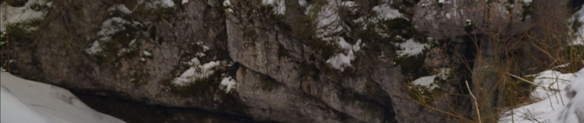
Photos


Positioning
Country:
France
Region :
Auvergne-Rhône-Alpes
Department/Province :
Isère
Municipality :
Corrençon-en-Vercors
Location:
Unknown
Start:(Dec)
Start:(UTM)
699277 ; 4988162 (31T) N.
Comments