


parcours_2763139

viam19
User
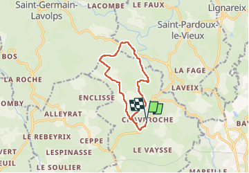

Length
11.5 km

Max alt
813 m

Uphill gradient
301 m
Km-Effort
15.5 km

Min alt
641 m

Downhill gradient
307 m
Boucle
Yes
Creation date :
2025-03-02 23:12:37.389
Updated on :
2025-04-01 19:13:06.216
3h31
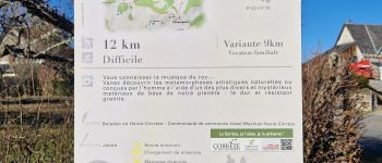
Difficulty : Difficult

FREE GPS app for hiking
 SityTrail
IGN / Geographical institutes
SityTrail Plus
The world is yours!
About
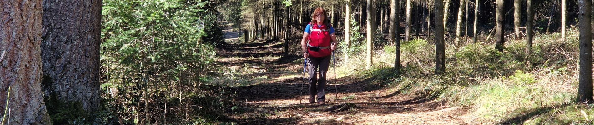
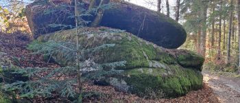
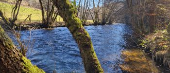
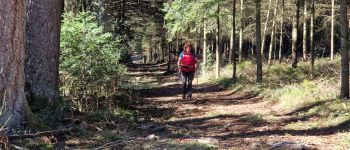
Trail Walking of 11.5 km to be discovered at New Aquitaine, Corrèze, Chaveroche. This trail is proposed by viam19.
Photos


Positioning
Country:
France
Region :
New Aquitaine
Department/Province :
Corrèze
Municipality :
Chaveroche
Location:
Unknown
Start:(Dec)
Start:(UTM)
441944 ; 5046901 (31T) N.
Comments