


2025 03 Wintzenheim Pfister Wettolsheim

staubalex
User
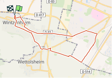

Length
9.4 km

Max alt
229 m

Uphill gradient
48 m
Km-Effort
10 km

Min alt
194 m

Downhill gradient
48 m
Boucle
Yes
Creation date :
2025-03-07 08:44:30.49
Updated on :
2025-03-07 08:45:54.583
10m
Difficulty : Easy

FREE GPS app for hiking
 SityTrail
IGN / Geographical institutes
SityTrail Plus
The world is yours!
About
Trail Other activity of 9.4 km to be discovered at Grand Est, Haut-Rhin, Wintzenheim. This trail is proposed by staubalex.
Positioning
Country:
France
Region :
Grand Est
Department/Province :
Haut-Rhin
Municipality :
Wintzenheim
Location:
Unknown
Start:(Dec)
Start:(UTM)
372754 ; 5326038 (32U) N.
Comments