


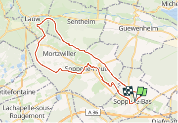
Soppe le Bas - Lauw

Alain28/01
User

Length
18 km

Max alt
429 m

Uphill gradient
293 m
Km-Effort
22 km

Min alt
307 m

Downhill gradient
291 m
Boucle
Yes
Creation date :
2025-03-12 10:16:47.197
Updated on :
2025-03-12 10:18:15.162
4h59
Difficulty : Medium

FREE GPS app for hiking
 SityTrail
IGN / Geographical institutes
SityTrail Plus
The world is yours!
About
Trail On foot of 18 km to be discovered at Grand Est, Haut-Rhin, Soppe-le-Bas. This trail is proposed by Alain28/01.
Positioning
Country:
France
Region :
Grand Est
Department/Province :
Haut-Rhin
Municipality :
Soppe-le-Bas
Location:
Unknown
Start:(Dec)
Start:(UTM)
356844 ; 5286609 (32T) N.
Comments