


Rando Marcheurs ..20/03/2025..

boubou68
User
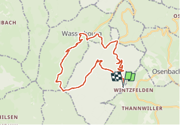

Length
18.2 km

Max alt
909 m

Uphill gradient
791 m
Km-Effort
29 km

Min alt
405 m

Downhill gradient
796 m
Boucle
Yes
Creation date :
2025-03-20 08:36:32.84
Updated on :
2025-03-20 14:57:41.865
4h18
Difficulty : Very difficult

FREE GPS app for hiking
 SityTrail
IGN / Geographical institutes
SityTrail Plus
The world is yours!
About
Trail Walking of 18.2 km to be discovered at Grand Est, Haut-Rhin, Soultzmatt. This trail is proposed by boubou68.
Description
Merci ALAIN
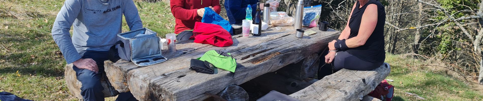
Photos


Positioning
Country:
France
Region :
Grand Est
Department/Province :
Haut-Rhin
Municipality :
Soultzmatt
Location:
Unknown
Start:(Dec)
Start:(UTM)
364846 ; 5315446 (32T) N.
Comments