


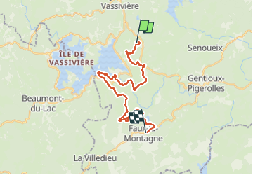
Itinérant Millevaches 2025 E 3 Le villard- Faux la Montagne 25 km

chessyca
User GUIDE


7h16
Difficulty : Difficult

FREE GPS app for hiking
 SityTrail
IGN / Geographical institutes
SityTrail Plus
The world is yours!
About
Trail On foot of 25 km to be discovered at New Aquitaine, Creuse, Royère-de-Vassivière. This trail is proposed by chessyca.
Description
Troisième journée de l'itinérant
Passage vers le lac de Vassivière
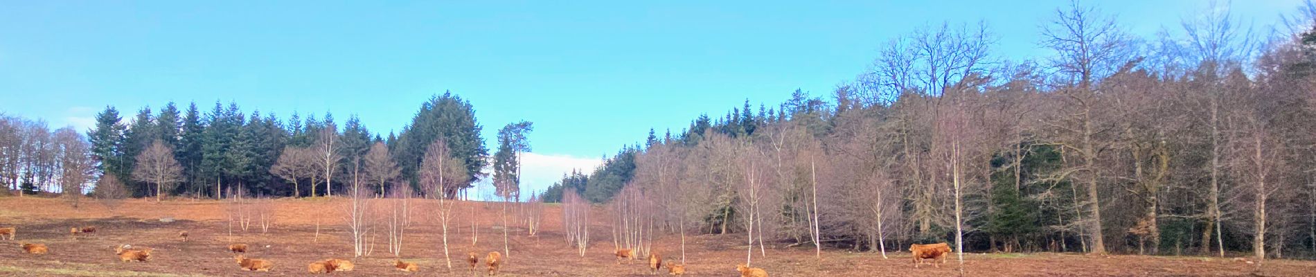
Un parcours varié alternant forêts, lacs et hameaux
Etape au très confortable gite municipal de Faux la Montagne ( gite principal bungalow de 4 personnes)
Photos


Positioning
Comments