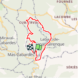

16.1 km | 25 km-effort


User


FREE GPS app for hiking
 SityTrail
IGN / Geographical institutes
SityTrail World
The world is yours!
Trail Walking of 14.9 km to be discovered at Occitania, Aude, Roquefère. This trail is proposed by 7217Lionel.
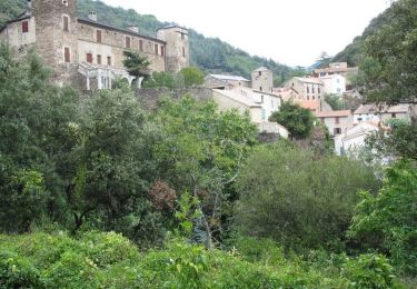
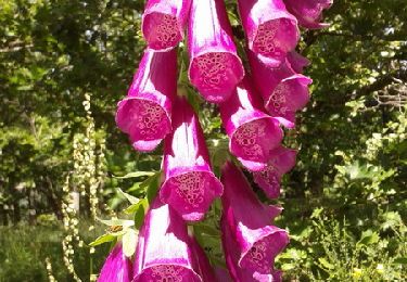
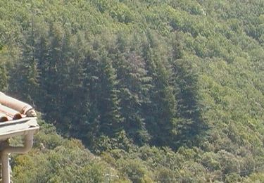
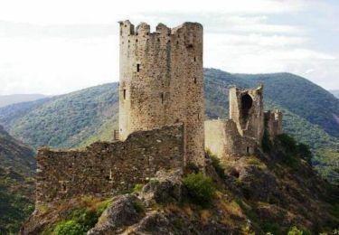
Trois villages très pittoresques ponctuent cette balade aux paysages remarquables. Le caractère bien trempé des constructions en pierre de schiste rehausse l'ambiance montagnarde de ce secteur du Haut-Cabardès. La cascade de Cubserviès vaut à elle seule le détour.
Walking
Walking

Walking
On foot

On foot
Walking
Walking