


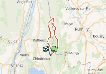
SAPENAY / CLERGEON: COL DU SAPENAY - ROJUX - CAMP III - GRANDE CUVE - SENTIER GALLET

djeepee74
User

Length
18.1 km

Max alt
1041 m

Uphill gradient
567 m
Km-Effort
26 km

Min alt
782 m

Downhill gradient
566 m
Boucle
Yes
Creation date :
2025-04-05 06:19:24.055
Updated on :
2025-04-05 19:31:15.964
5h50
Difficulty : Medium

FREE GPS app for hiking
 SityTrail
IGN / Geographical institutes
SityTrail Plus
The world is yours!
About
Trail Walking of 18.1 km to be discovered at Auvergne-Rhône-Alpes, Savoy, Entrelacs. This trail is proposed by djeepee74.
Description
BOUCLE... live du 20250405
Sur une proposition de Jean-Paul Paget (Manet)
Positioning
Country:
France
Region :
Auvergne-Rhône-Alpes
Department/Province :
Savoy
Municipality :
Entrelacs
Location:
Cessens
Start:(Dec)
Start:(UTM)
722851 ; 5078525 (31T) N.
Comments