


Pujols-Ruch

Gbreuilh
User

Length
19.5 km

Max alt
106 m

Uphill gradient
280 m
Km-Effort
23 km

Min alt
21 m

Downhill gradient
285 m
Boucle
Yes
Creation date :
2025-04-06 07:38:53.952
Updated on :
2025-04-06 13:59:50.614
5h34
Difficulty : Medium

FREE GPS app for hiking
 SityTrail
IGN / Geographical institutes
SityTrail Plus
The world is yours!
About
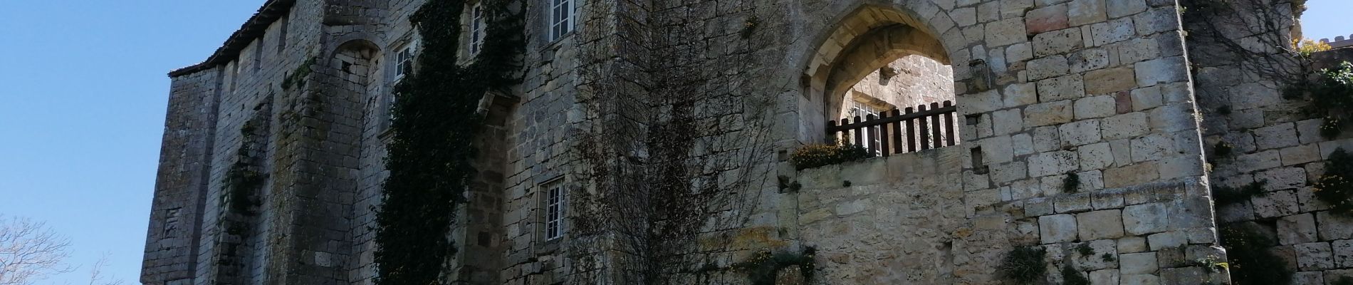
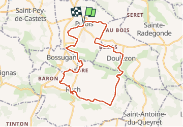
Trail Walking of 19.5 km to be discovered at New Aquitaine, Gironde, Pujols. This trail is proposed by Gbreuilh.
Photos

Positioning
Country:
France
Region :
New Aquitaine
Department/Province :
Gironde
Municipality :
Pujols
Location:
Unknown
Start:(Dec)
Start:(UTM)
734753 ; 4965916 (30T) N.
Comments